York Bus Route Map
York Bus Route Map
 The city centre map shows you where each bus service stops at the various city centre interchanges.
Find out when and where buses run in the area with the York Bus Route Map.
Latest version: August 2025.
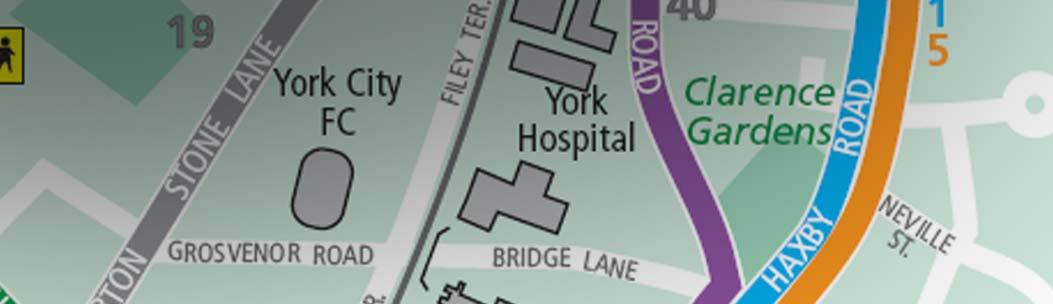
The York Bus Route Map covers the city centre, suburbs and many surrounding villages within the City of York.
The map shows most of the bus services which operate in the York area. However, to retain a clear layout some very infrequent, seasonal and school transport services are not shown. If you can't find the service that you're looking for, see our bus timetables page or call our Bus Information line: 01904 551400.
The York Bus Route Map is available in 3 formats:
- a leaflet available free of charge from York Station, York Libraries and Visit York.
- a poster on display in many bus shelters around the city.
- a PDF file which can be downloaded from this page.
Download the York Bus Route Map.
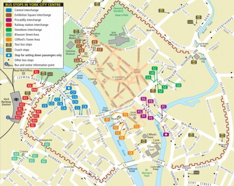
Find out where to board your bus in York city centre.
View interchanges
All York ticket
Travel for as little as £4.42 per day when you buy a multi-day smart ticket, valid on all buses in York.
Visit the All York page